Get Inspired by Jessie Homer French
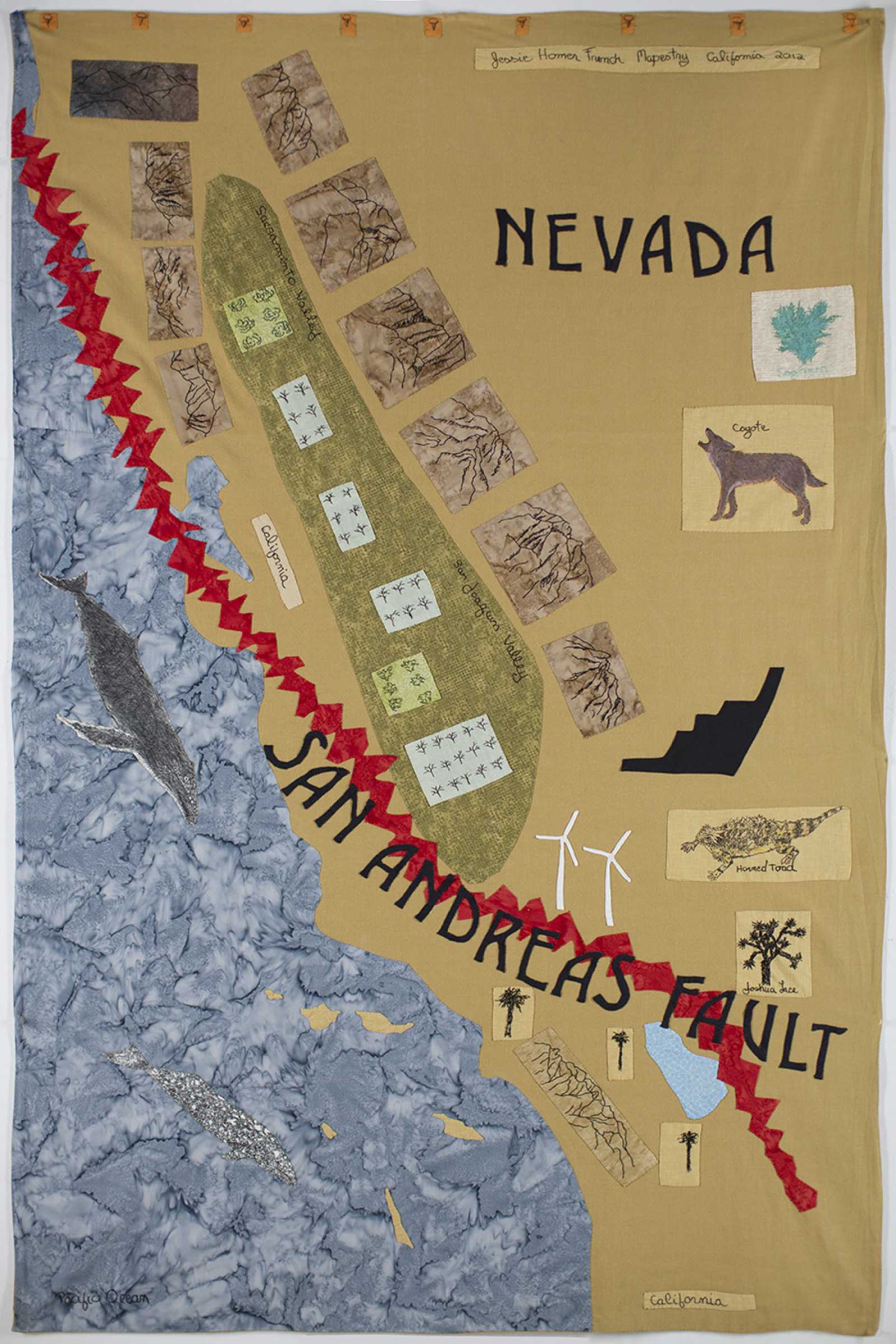
Jessie Homer French (American, born 1940), Mapestry California, 2012, fabric, thread, fabric paint, and pen, 66 × 42 inches. Museum purchase with funds provided by Robert Shiell, 2017.31
Maps are diagrams or representations of geographic regions or areas, whether land or sea. Depending on the scale, they often show features such as cities, roads, transit links, and other geographic features.
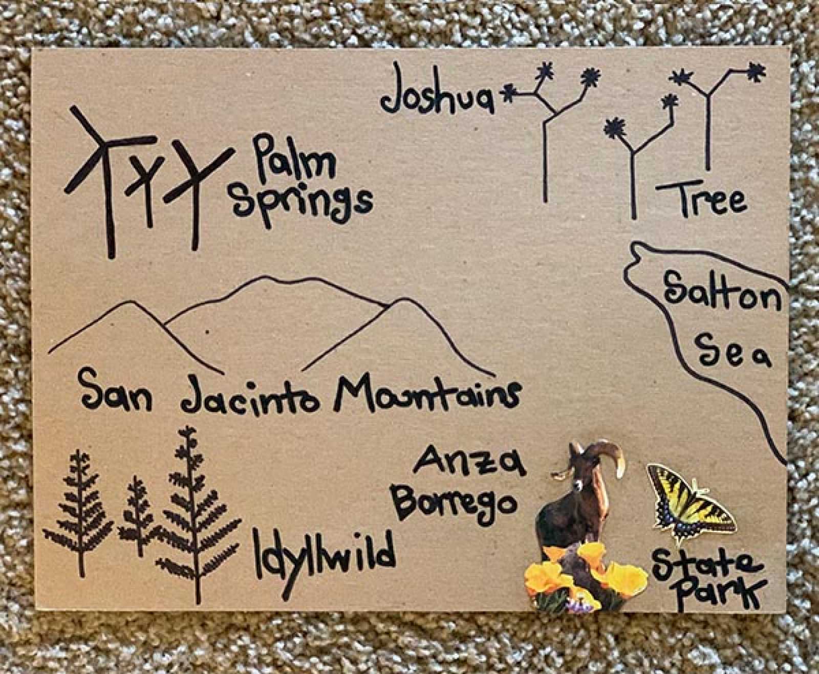
Artist Jessie Homer French’s work takes the form of maps and also conveys regional narratives. Design your own map to portray your narrative, whether it is based on your block, your neighborhood, your favorite place, or a land imagined.
Learn more about Jessie homer french
Supplies:
- Paper
- Pencil
- Eraser
- Colored markers, pencils or crayons
- (Optional: maps, magazines, scissors, and glue if you would like to add collage materials)
Instructions
Step 1
Select the area you would like to be the focus of your map. This could be a favorite place, your neighborhood, a path you travel often, or a somewhere imaginary. It could even be parts of your house or apartment.
Step 2
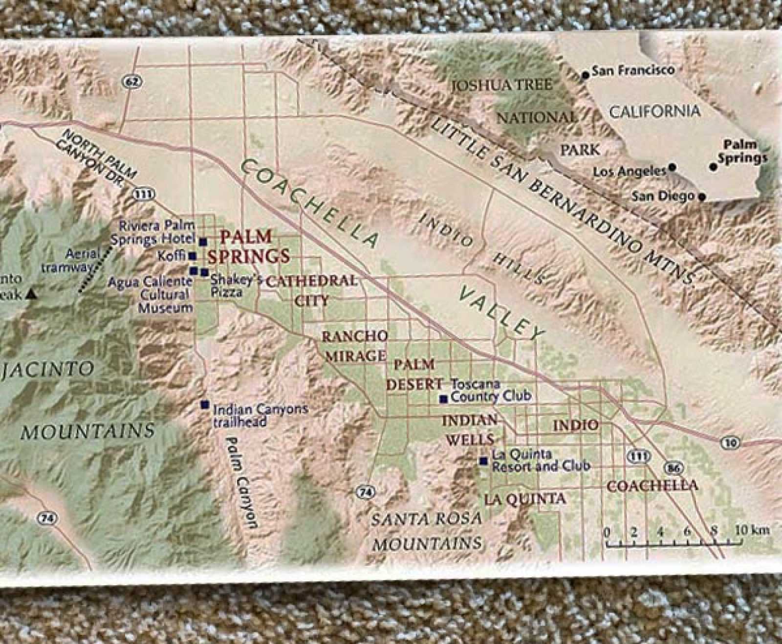
Determine the most important geographical indicators to include. It could be helpful to look at a few different maps as inspiration for yours. Think about how they look and their purpose. Consider the paths and routes you will convey and take notes of key things like streets, buildings, and other geographic markers.
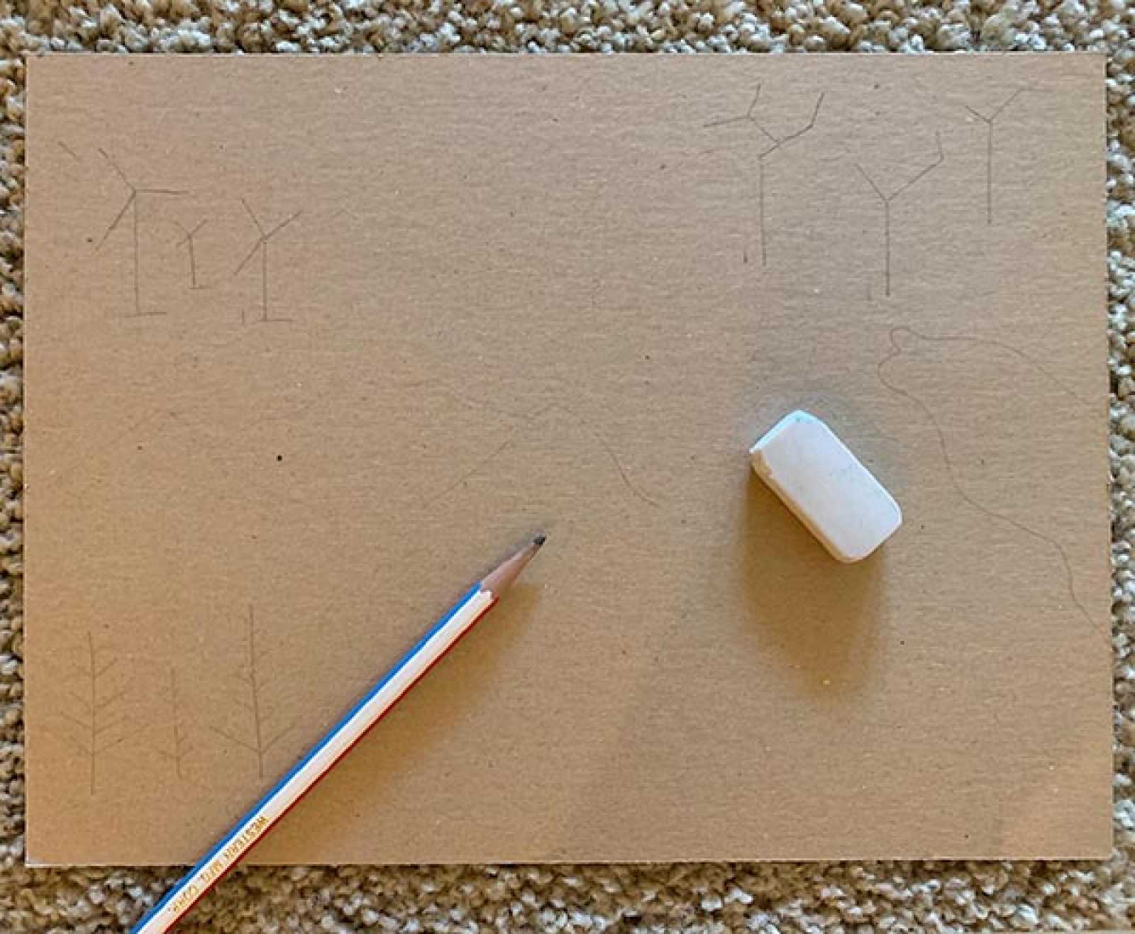
Step 3
Sketch out your ideas on a sheet of paper in pencil first. Start with the key landmarks. Place them in relation to each other and consider their relative scale and distance.
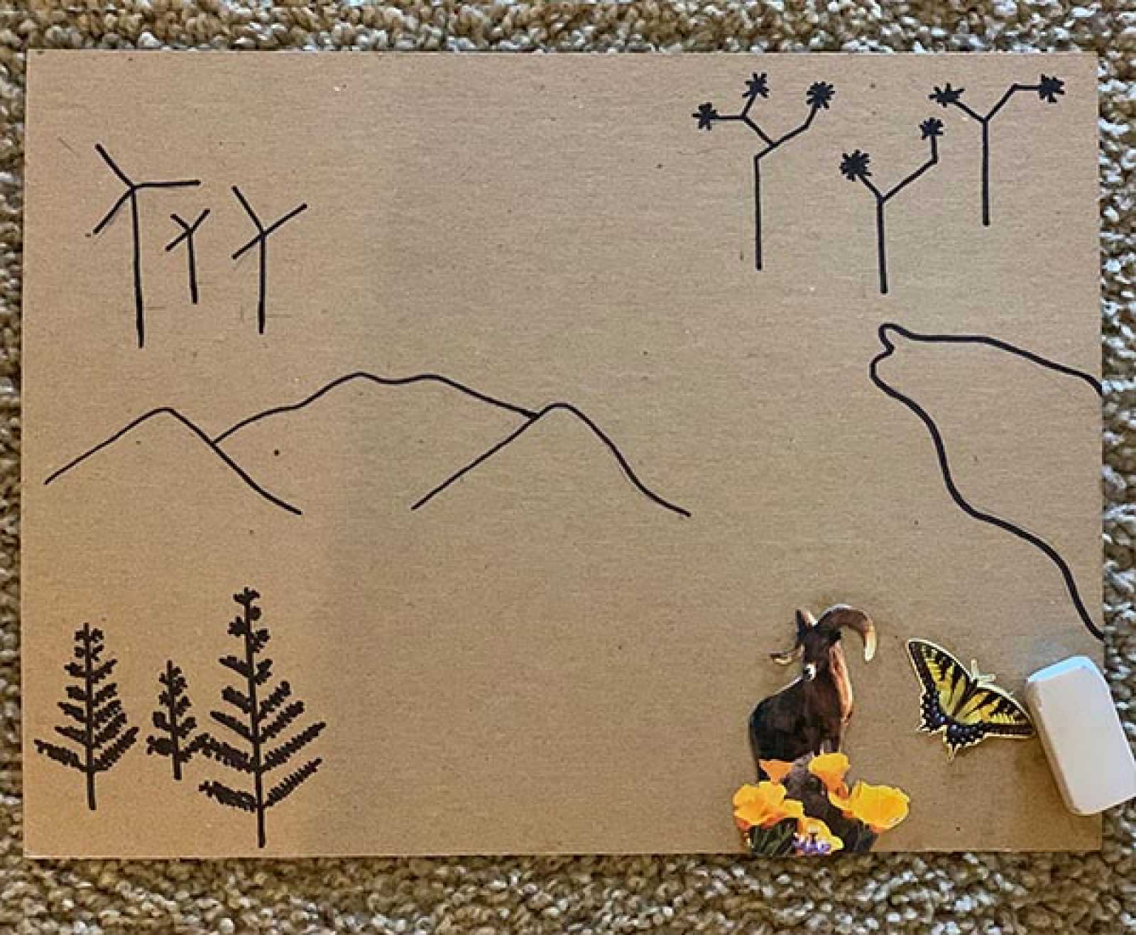
Step 4
Once you have your layout, finalize your creation in pen or marker. Consider drawing roads or paths between the elements. Add symbols like a compass, pictures and words to indicate your geographic indicators or other aspects of the map. You might also cut out images and glue them onto your map.